Pacific Crest Trail Hike: CA Section A – Mile 0-110

Pacific Crest Trail Hike: CA Section A – Mile 0-110
Hello from the Pacific Crest Trail! I wanted to share how the first section of the trail went for me as it has already been a life altering experience.
I have decided to write posts based on sections. As this section had some unforeseen weather patterns, it took more days than expected. As I continue to grow stronger and faster, there will be less days per section, but for this first one – there is a lot of information!
You will find that I have included both a Summary and Detailed descriptions of my section/daily experience.
PCT CA Section A Summary
Statistics:
Days: 12 days
Full hiking days: 7
*Zeroes: 4
**Neros: 1
Total Trail Miles Hiked: 112.0
***Total Miles Hiked: 115.4
Trail Elevation Gain: 14,606 ft
Trail Elevation Loss: 14,553 ft
*Zero is a term for no trail miles hiked. These days are often used for resupplying food, doing laundry, showering, going to the post office, or resting.
**Nero is a term for a very short day of actual trail hiking, it is near a zero.
***I’m including any off trail miles that I had my backpack on for. This will help me formulate an idea of how much extra effort I am putting into getting water, campsites, and other things slightly off trail.
Highlights:
Starting my thru-hike of the Pacific Crest Trail after years of dreaming.
Feeling confident that I did enough training and my body feels strong.
Getting good sleep on the trail, which was one of my biggest concerns.
Lowlights:
The weather and the consistent storm systems that have forced zero days.
Lower average daily mileage than originally planned/hoped.
Already have had to switch out gear based on poor performance.
My feet! My body is strong but my feet injuries are the limiting factor.
PCT CA Section A Detailed Version
Getting to the Southern Terminus
My flight to San Diego was out of Detroit, Michigan and luckily it was direct non-stop! I had a day in San Diego before I was due at the terminus which was great to do some last minute shopping and see my dear friend who lives in the area.
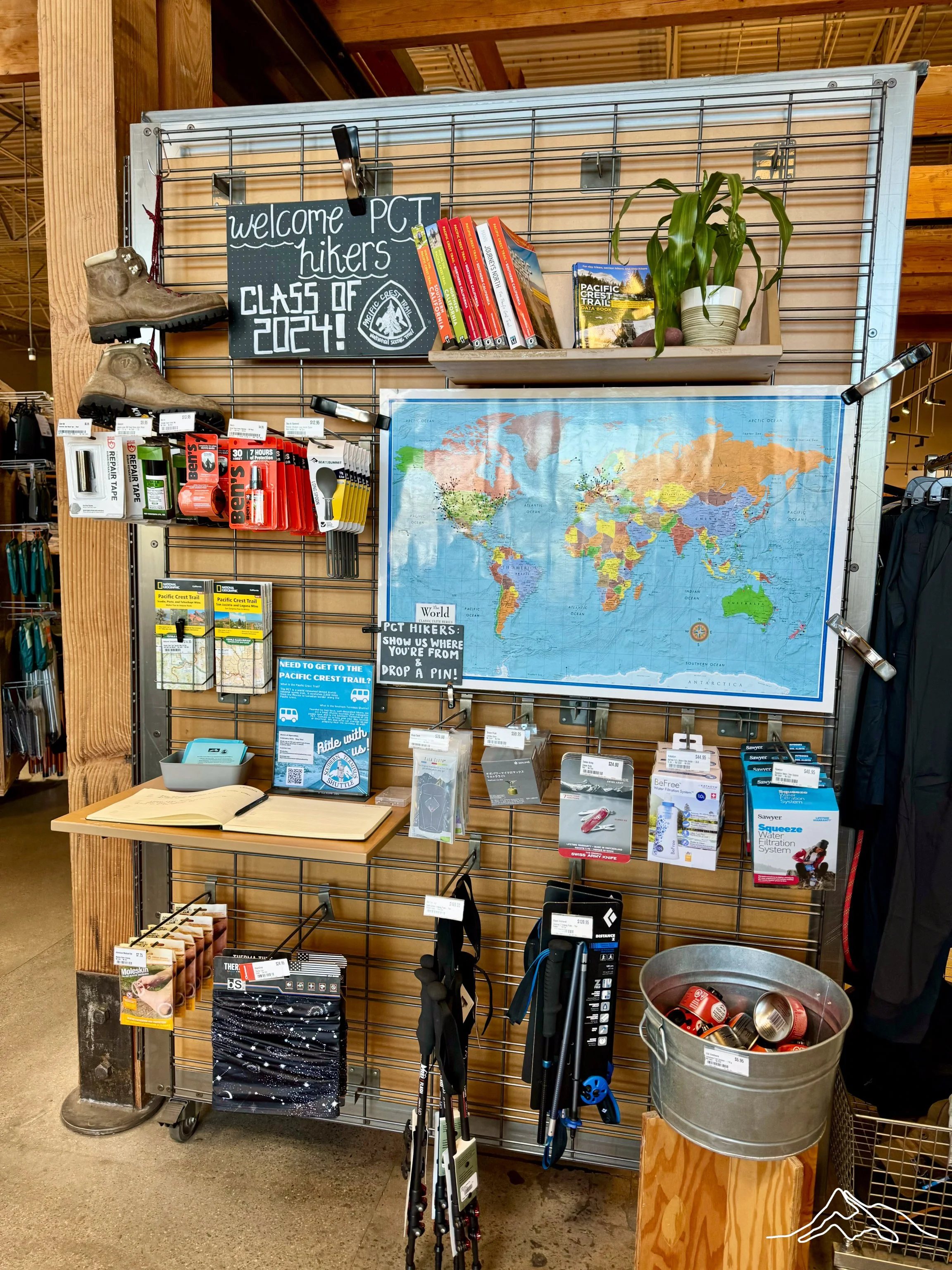
Getting to the actual terminus was easy as I went with the PCT Southern Terminus Shuttle. This is a fantastic service that is run by a thru-hiking couple and runs twice daily to and from the border out of San Diego. This shuttle has a few stops along the way including the REI in San Diego which is helpful, specifically for stove fuel. The shuttle’s final destination is the Pacific Crest Trail southern terminus and its corresponding campsite, CLEEF. This is a non profit organization that hosts hikers daily, has great trail talks in the evenings, a spot to camp, and provides breakfast. It is a wonderful way to start on the trail!
More on CLEEF later.
Day 1: Mile 0 – 15.4
Trail Daily Miles: 15.4
Total Daily Miles: 16.0
Total Trail Mileage: 15.4
Elevation Gain: 1705 ft
Elevation Loss: 2280 ft
Weather: Sun
Overall Day Sentiment: Overly excited!
I woke up beaming with excitement and nerves. My at-home Support Person hiked the first two days with me, which was nice to have a little extra support as I navigated this journey.
Because of the great breakfast listed above and taking photos at the terminus, we got a relatively late start and began hiking at 9am. It was a beautiful sunny day that heated up quickly but provided a feast for the eyes! The terrain reminded us of Cape Town in that it was much more coastal than expected. You could have told me we were hiking up Table Mountain and I would have believed you. It was less like the stereotypical desert than originally thought.
The miles came relatively easy, though it was a great reminder that hiking with a fully loaded pack is much different than with a daypack. Because of the time of year and recent storms, the water carry was never too long. We ended up hiking to Hauser Creek at mile 15.4 and camped around great folks!
Day 2: Mile 15.4 – 32.8
Trail Daily Miles: 17.4
Total Daily Miles: 18.7
Total Trail Mileage: 32.8
Elevation Gain: 3661 ft
Elevation Loss: 1637 ft
Weather: Sun, Rain, Wind
Overall Day Sentiment: Strong Start, Brutal Finish
We woke up earlier this day and got hiking by 7:15am as there was quite a climb to get out of the canyon. It was cool and beautiful as the sun rose and again, miles came easy.
Lake Morena is a small establishment at mile 20 on the trail and we were able to snag breakfast at around 5 miles in for the day at the famous Malt Shop. Don’t worry, I got a chocolate malt even at 9:30am. It started heating up upon exiting Lake Morena but we were rewarded with wonderful views.
There was talk of a storm that was rolling in the next day, so we had wanted to get some miles in as my at-home Support Person had to get a ride back to San Diego the next morning so we had a specific place to be by the night.
The storm rolled in several hours before it was slated to and this meant we were stuck in the rain. We hiked for 4 hours in the rain while the temperature was dropping rapidly. With all of my clothes soaked, despite wearing proper gear, we were approaching a hypothermic situation. The elevation we were at was going to be receiving snow that night, so all of the wet clothes and gear would freeze.
Luckily, we had established the ride back to SD with the PCT Southern Terminus folks for the next morning and they were able to grab us that night to bring us back to CLEEF. We had been hiking with another hiker, Bobcat, throughout the day and he caught a ride back with us as well.
When we were rescued by the PCT Southern Terminus folks and greeted with fires, hot chocolate, and good company at CLEEF, we knew we made the right call by using the Satellite Communicator to ask for help. I am fiercely independent so asking for help does not come naturally – this reinforced that it is okay to rely on others.
Day 3: Mile 32.8
Trail Daily Miles: 0
Total Daily Miles: 0
Total Trail Mileage: 32.8
Elevation Gain: 0
Elevation Loss: 0
Weather: Snow, Hail, Rain
Overall Day Sentiment: Bored, but happy to be safe
I had my first unplanned, forced zero day on trail and hung out at CLEEF. There were about 30 hikers here also stranded so it was a great time to get to know people before their hikes began. Even if I never run into those people on the trail or in life again, I know that we had something big in common – despite our varied backgrounds!
Day 4: Mile 32.8 – 42.1
Trail Daily Miles: 9.3
Total Daily Miles: 10.2
Total Trail Mileage: 42.1
Elevation Gain: 2056 ft
Elevation Loss: 521 ft
Weather: Sun
Overall Day Sentiment: Optimistic
The PCT Southern Terminus Shuttle driver, OneSpeed, drove myself and Bobcat (the other hiker that was previously rescued) back to mile 32.8. It was great starting back on the trail with someone I had gotten to know a bit the day before and has been a wonderful support ever since!
The first half of the day was smooth sailing, barely any signs of the torrential downpour that was the day before. The second half of the day was a slushy mess. I was high up in elevation enough that the previous day’s rain had turned to snow so the trail was loosely a trail and more like a river.
Those 5 miles were slow but I was rewarded with a stay at the Tiny House Block (The Office) in Mount Laguna for the night. A late lunch was also wonderful at the Pine House Cafe & Tavern! A shower and laundry were in order at the hostel which felt refreshing after 5 days. 3 other hikers were there in the hostel overnight which was great to commiserate about the weather and troubleshoot forthcoming trail conditions.
Day 5: Mile 42.1 – 58.1
Trail Daily Miles: 16.0
Total Daily Miles: 16.1
Total Trail Mileage: 58.1
Elevation Gain: 1546 ft
Elevation Loss: 2564 ft
Weather: Sun
Overall Day Sentiment: Positive, Tired
Despite being concerned about the trail conditions from the prior storm, it was a beautiful cruisey trail. This day was the first day where I felt like I was on the proper PCT. It had expansive views, trails in the distance that seemed impossible to reach, and I passed the 50 mile mark! Camp was easy to find and though I was exhausted, I was satisfied as I slept.
Day 6: Mile 58.1 – 72.1
Trail Daily Miles: 14.0
Total Daily Miles: 14.2
Total Trail Mileage: 72.1
Elevation Gain: 1371 ft
Elevation Loss: 2903 ft
Weather: Cold, Sun, Hot
Overall Day Sentiment: Tired, Painful
The changing temperatures were the fun part to this day. I woke up to frost inside my tent and below freezing temperatures. I discovered how hard it was to get moving when it is 30 degrees Fahrenheit outside (and inside the tent!).
Eventually we got rolling and had a longer water carry which meant packs were heavier. The sun was unrelenting and warmed me up quickly – too quickly. From 30 degrees when I awoke to 88 degrees in full sun climbing out of a canyon.
Throughout the past few days, my feet had been developing wild blisters, 7 of 10 toes were impacted. My feet had also already grown in size which was evident by my tight shoes, heels also getting blisters, and foot skin bright red from rapid expansion. I had gone up half a shoe size in preparation for this hike, but that seemingly was not enough.
The last few miles to camp were a hobble and chore. Though the site was beautiful overlooking a valley from a cliffside, I was counting down until tomorrow when I was able to go into Julian, CA for a zero day.
Day 7: Mile 72.1 – 77.9
Trail Daily Miles: 5.8
Total Daily Miles: 5.8
Total Trail Mileage: 77.9
Elevation Gain: 268 ft
Elevation Loss: 1373 ft
Weather: Sun
Overall Day Sentiment: Excited for Julian!
I awoke to my feet still hurting, but town was a great motivation to get moving. It was a quick hike down the road where a Trail Angel, Ghost, was able to give Bobcat and I a ride into town.
Upon arriving in Julian, we ate at the Julian Cafe and Bakery – delicious and PCT hiker discount! Then I went into 2 Foot Adventures Gear Shop to buy Injinji toe hiking socks – perhaps separating my toes would help with the blister situation? After that, we went to Mom’s Pie House and received free pie and ice cream because of our hiker status! It was a treat and a morale boost!
The remainder of the day was quiet at the Julian Lodge which meant relaxing and doing bathtub laundry. Dinner at Julian Beer Co. was also a treat with other hikers and bonding over the miles we had covered.
Days 8 – 10: Mile 77.9
Trail Daily Miles: 0
Total Daily Miles: 0
Total Trail Mileage: 77.9
Elevation Gain: 0
Elevation Loss: 0
Weather: Sun, Rain, Cold, Snow
Overall Day Sentiment: Ready to be on trail!
Day 8 was an intended zero day as I had to resupply food, ship boxes ahead and back home, as well as figure out my feet. Enter Blaze Physio. She is a Doctor of Physical Therapy that focuses on thru-hiker injuries. My feet had me at a loss and though it was not an injury per say it was a hiking medical issue. She was phenomenal with her advice and gave me some great interventions and suggestions. (Spoiler: I needed another size up in shoes!). Bonus, she travels around serving the hiking community in her van along with her perfect pup Honey! (Pictured below)
Day 9-10 were forced zeroes due to weather. I shifted out of Julian and went to Stagecoach RV park and got a tiny (tiny!!) house for 2 nights to wait out the storm. There were 20+ hikers there which was a great way to get to know more of the trail community! We told stories, showed talents, and laughed at jokes. It was a treat out of a rainy and cruddy situation.
Day 11: Mile 77.9 – 94.4
Trail Daily Miles: 16.5
Total Daily Miles: 18.2
Total Trail Mileage: 94.4
Elevation Gain: 2997 ft
Elevation Loss: 942 ft
Weather: Sun, Hail, Rain
Overall Day Sentiment: Proud
Back on trail – woohoo! I was greeted with quite a climb heading out of the valley but started early enough that it was pleasant. Bobcat and I reconnected and hiked together for the day. This was a head down perfect morning to do some big miles – we didn’t stop until 14 miles in!
There was a water cache relatively far off trail, which is why there is such a discrepancy between trail miles and total miles. There was not much water in this section so it was worth it. We did get briefly hailed on at our lunch break which was more wild than annoying.
There was a lot of elevation gain this day and another few dark clouds looming. We decided to call it an early day and were thankful when it was sprinkling on our tents a few hours later.
Day 12: Mile 94.4 – 112.0
Trail Daily Miles: 17.6
Total Daily Miles: 18.0
Total Trail Mileage:
Elevation Gain: 1078 ft
Elevation Loss: 2455 ft
Weather: Sun, Hot
Overall Day Sentiment: Painful
There were several milestones for the day; hitting 100 miles, Eagle Rock, stopping into Warner Springs, and therefore completing California Section A. We got an early start and made solid time to a water source after passing 100 miles.
After the water source, my foot – much to my dismay – continued to go downhill. I could feel a pressure blister forming on my left forefoot from too small of shoes. My at home Support Person sent shoes to Idyllwild, still 3 days away. I began limping badly and the remainder of the day was shrouded in excruciating pain. I’ve had a few of them in the past but never this sudden.
Though I enjoyed Eagle Rock, it was overshadowed by my pain. The long road walk into Warner Springs was just icing on the blister stump of a foot. I stopped at the post office to obtain the resupply box that I had sent myself from Julian and was greeted with the kindest Postmaster, Wally. These trail towns are full of kind individuals that support you on your journey and I cannot be more thankful.
Though Warner Springs is the end of this section, we hiked for another 2 miles and made an early camp. My foot forced us to do a shorter day than planned but I was able to do some interventions (read: popping said blister) that made it more bearable.
Enjoy these photos of the Pacific Crest Trail California Section A!
xoxo Leeann